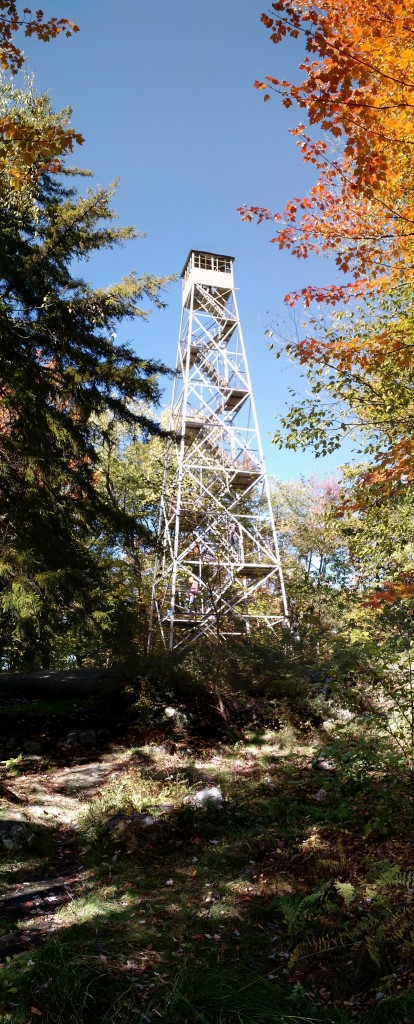
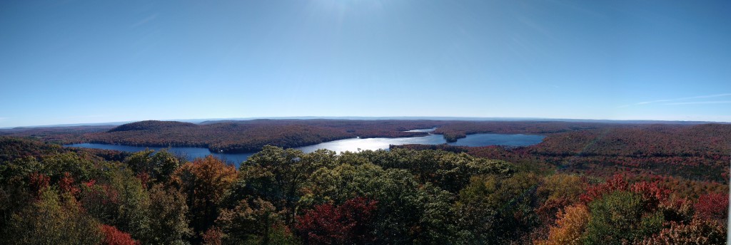
Kane is arguably my favorite hike in the ADK. When young our folks rented a camp on Canada Lake and the hike to Kane and the fire tower was commonly done. It’s a relatively easy 0.5mi hike with moderate grade.
Tag Archives: ngmap744
Good Luck Lake – October 10, 2015
There is a short hike in to Good Luck Lake with is easy and ends with a beautiful lake view. It’s #112 on the National Geographic Map #744. The trail head is not well marked for this short hike; it’s the one just across from the parking area and has these signs at the entrace:
Two camp sites are in there by the lake, both with fire pits.
After that we headed down to the Canada Lake Store for lunch, and ate on the docks. A fun day!
Panther Mountain – October 10, 2015
Alex was up for the weekend and Jenn had contacted us wanting to get outside, so we all decided to meet in the Piseco Lake area to do a few hikes.
We rose early and drove through Lake Pleasant stopping at Sunrise Diner for breakfast. Two coffees, two eggs and toast, two eggs, homefries, and toast, and yoghurt and granola = less than $13. Yum!
With no service we chose a place to meet Jenn and drove down the road attempting to find the Panther Mountain trail entrance. It’s just West of the entrace to Little Sand Point campground, #99 on National Geographic Map #744.
The hike is a steep 0.6 miles with a spectacular view at the summit. We of course enjoyed a summit beer. Be mindful on the descent, one in our party slipped and we passed another who limped halfway down after a slip.
At the end we walked through the camp site and down to the water.
Next, we headed off to Good Luck Lake.


