Skiing Gore Mountain – December 5, 2015

Purchased the affordable deal of a 20-Something Gore / Whiteface season pass this year. Headed up to have my photo taken, pick up the pass, and try a few runs. Commonly referred to as “Spring Conditions” although it’s early winter, there were some bare spots and built-up man-made snow in areas. Definitely a good first day to try out my new skis and poles.

PANO_20151205_131534

Hadley Mountain – October 17, 2015

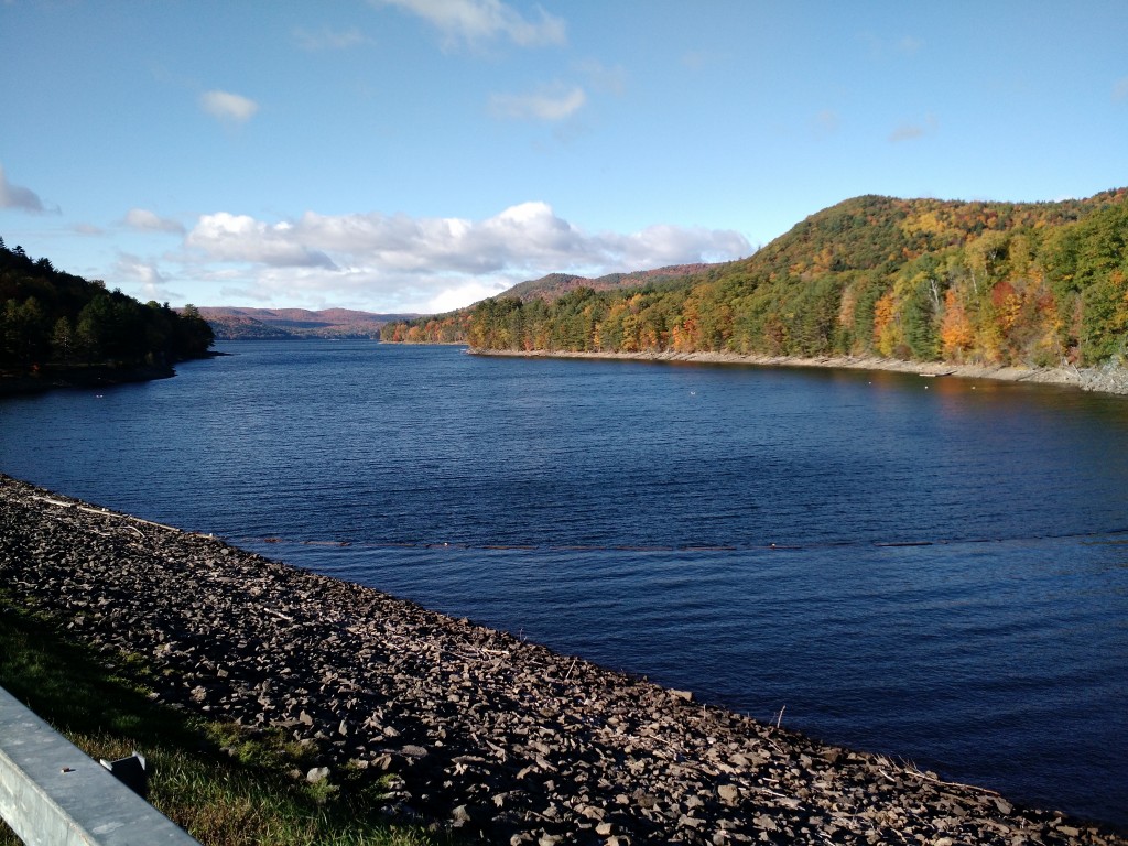
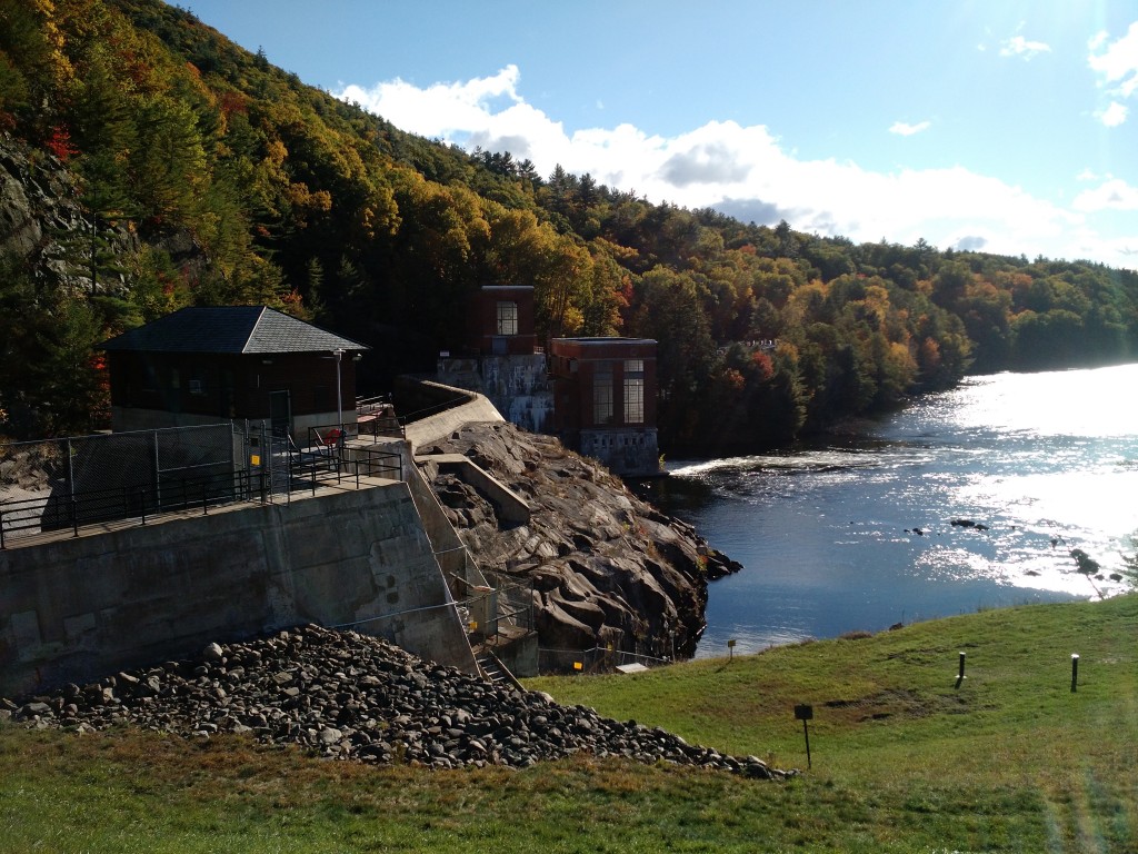
After running down Spruce Mountain I drove north over the Conkingville Dam, which is responsible for the Great Sacandaga Lake.

IMG_20151017_093304 IMG_20151017_093336

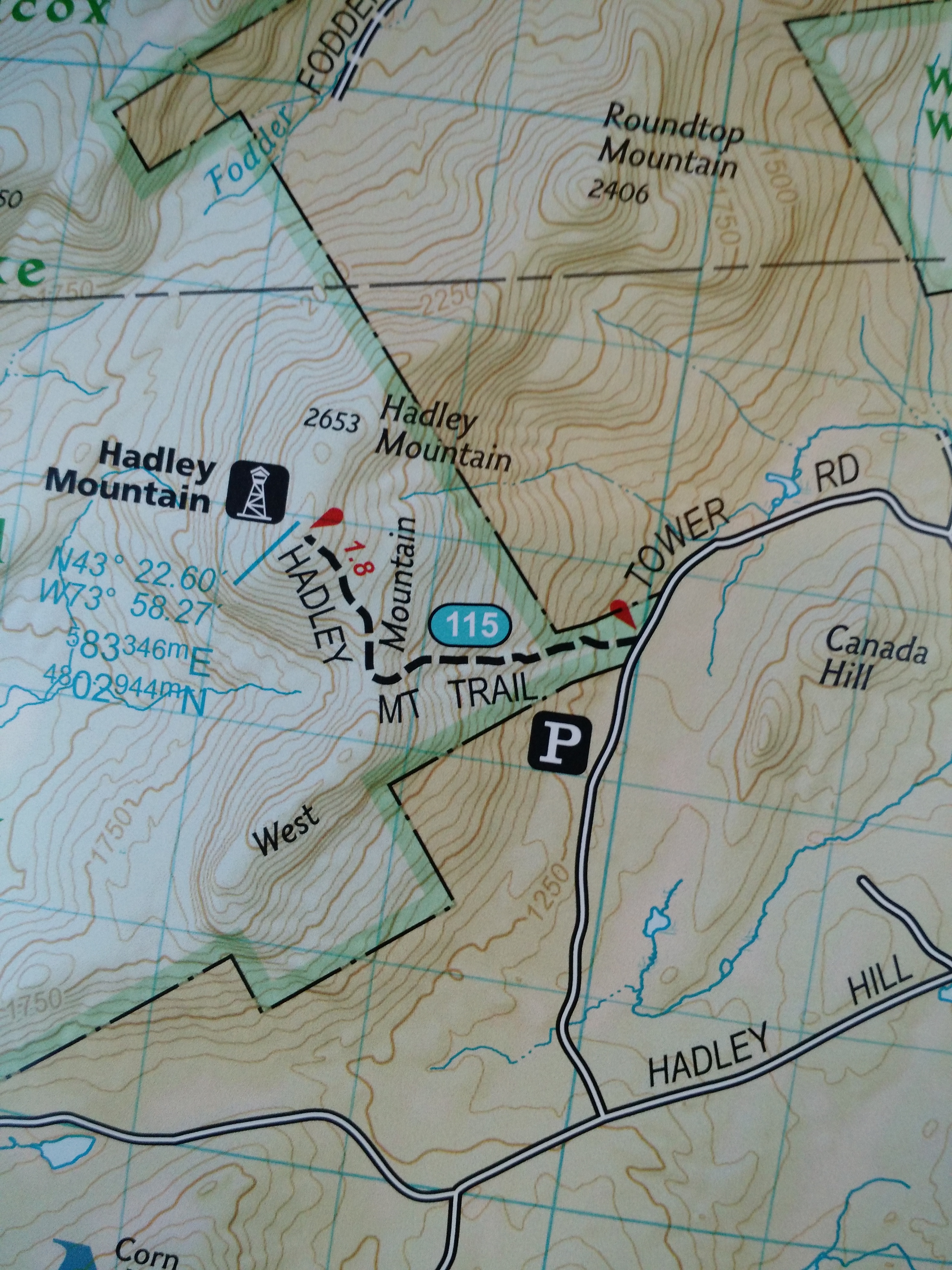
Then on up to the Hadley Mountain trailhead. The parking lot was beginning to fill. I quickly started the climb so I could be alone during my ascent, and ended up only passing two hikers on the way up (many more descending however).

IMG_20151017_094946 IMG_20151017_112815

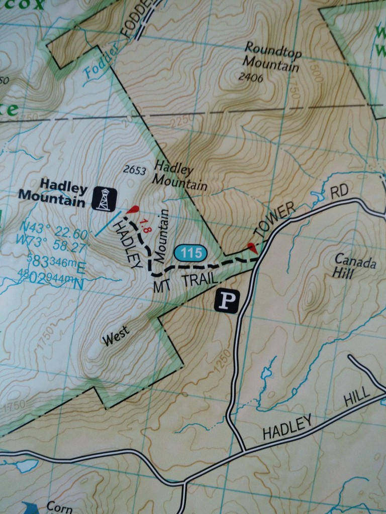
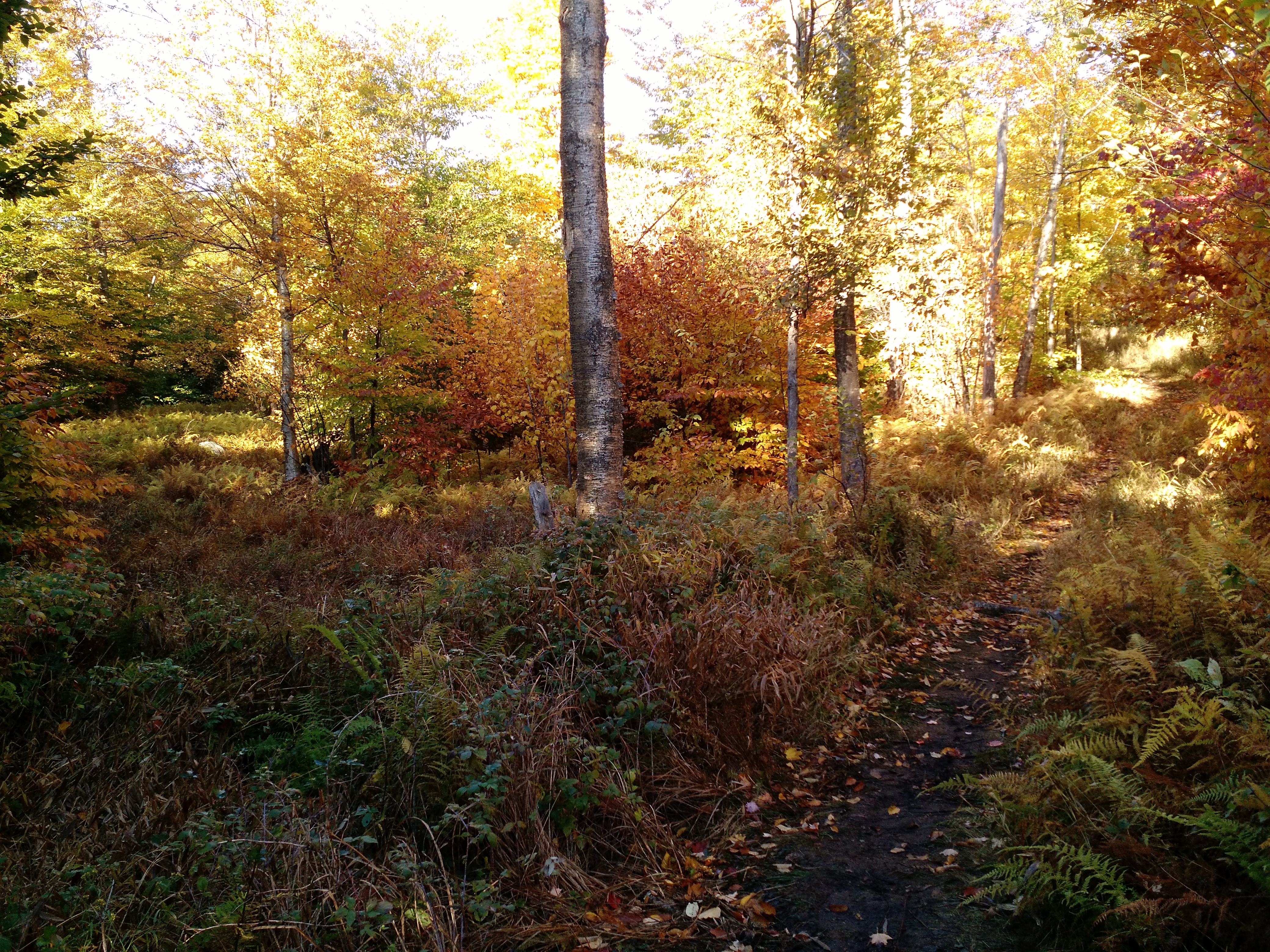
The climb is primarily moderate slab incline for the first couple hundred meters, which is not my favorite. Then moderate+ grade of rocky incline. Eventually it plateaus for a while, before another moderate climb to the top. Passed many short cliffs which could likely be bouldered, although the first edition of Adirondack Rock does not document them. Soon you hit the pines and the wind becomes apparent and layers are added.

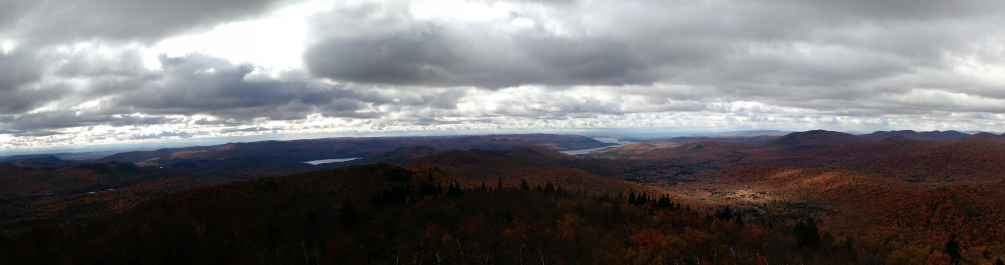
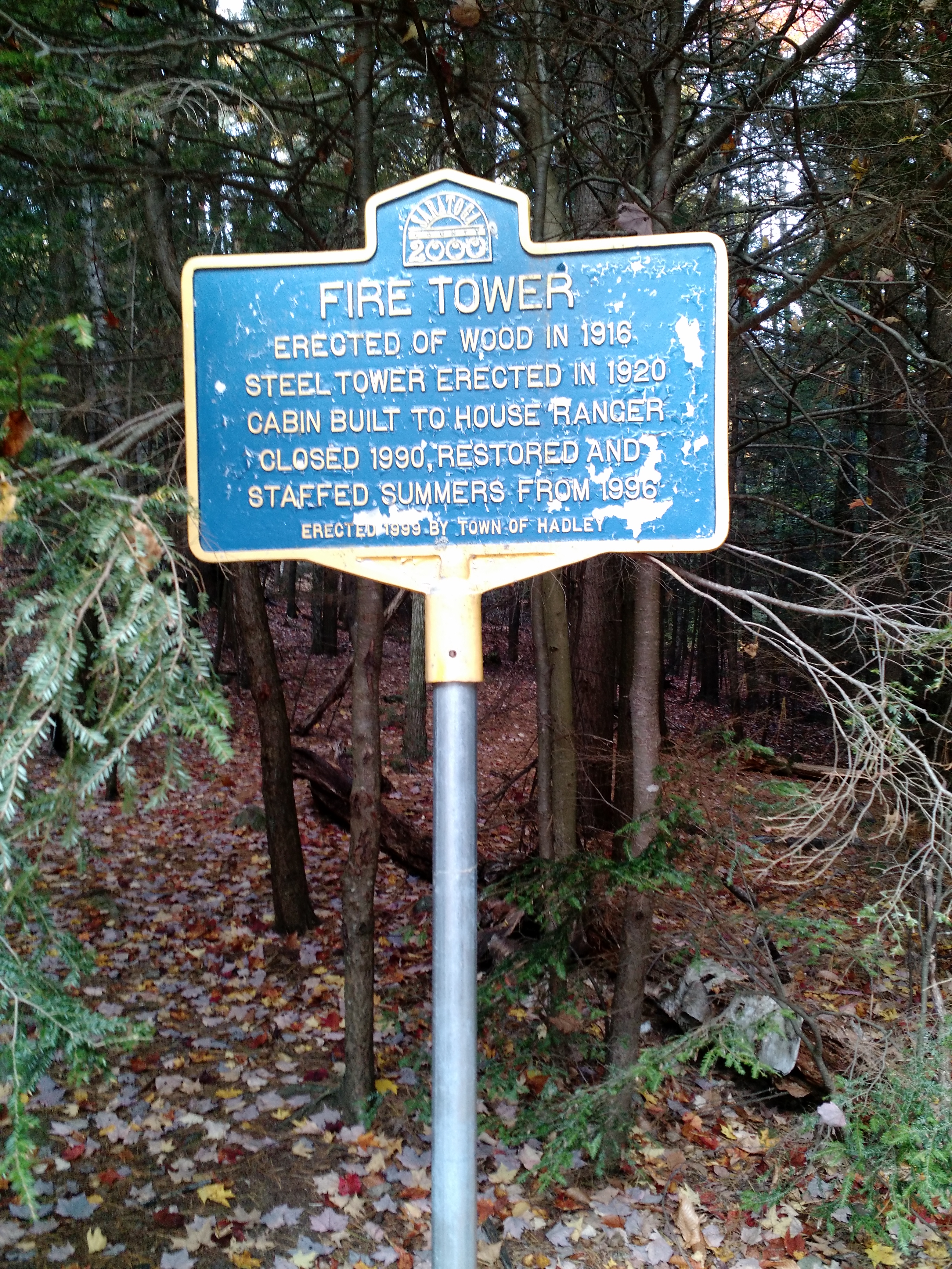
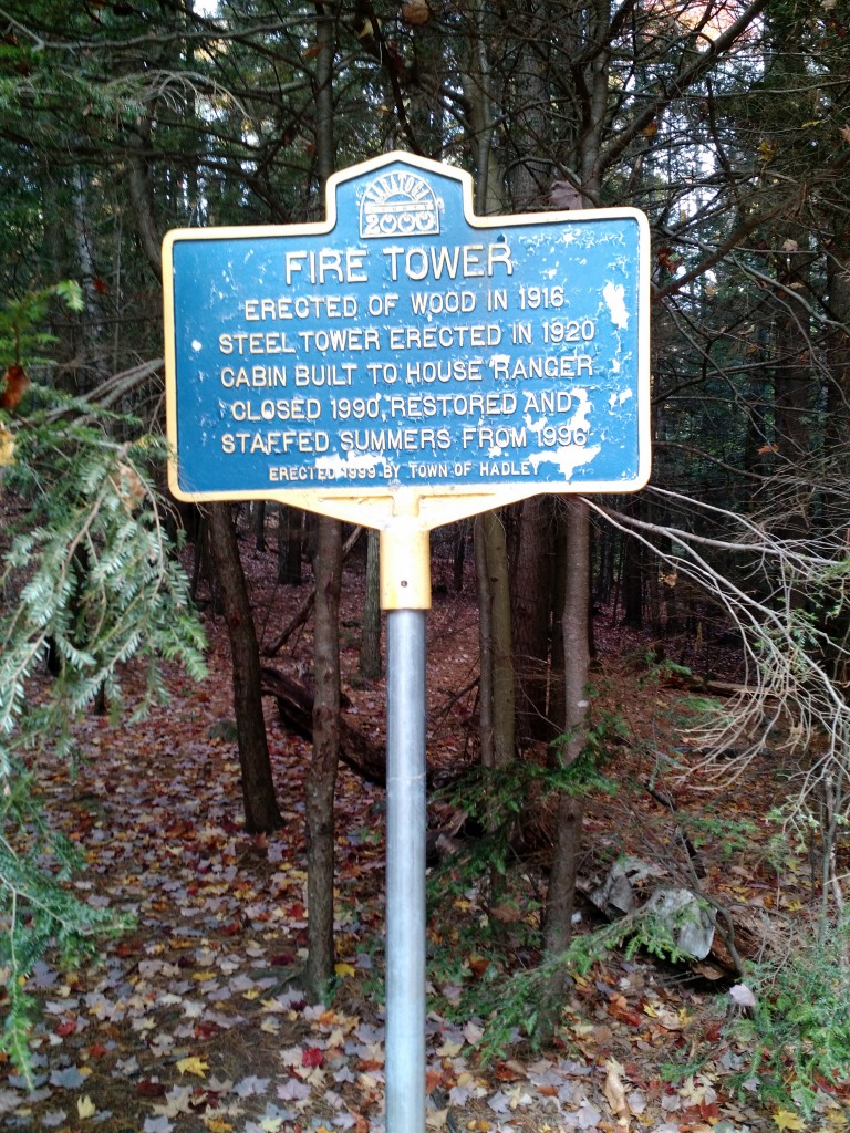
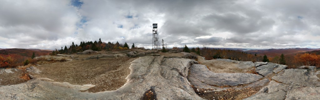
There’s a hut and outhouse at the top, as well as an old sort of underground dwelling which I did not climb into. The view from the summit and from the fire tower is spectacular albeit cold and windy. The firetower hatch had a locked padlock, but was not engaged into the hatch so I could access the cabin although the pexiglass hinders the view.

IMG_20151017_104142

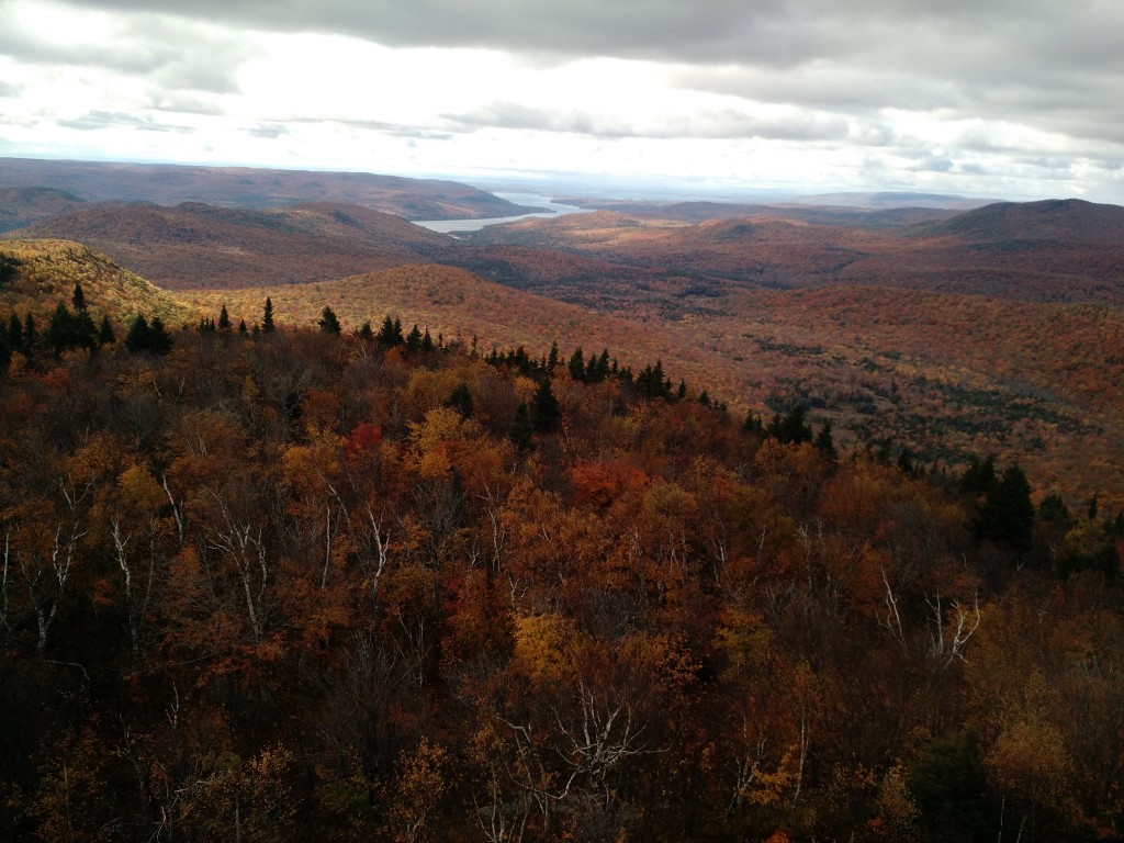
Over looking to the Sacadaga.

IMG_20151017_103252 PANO_20151017_104549 PANO_20151017_104314

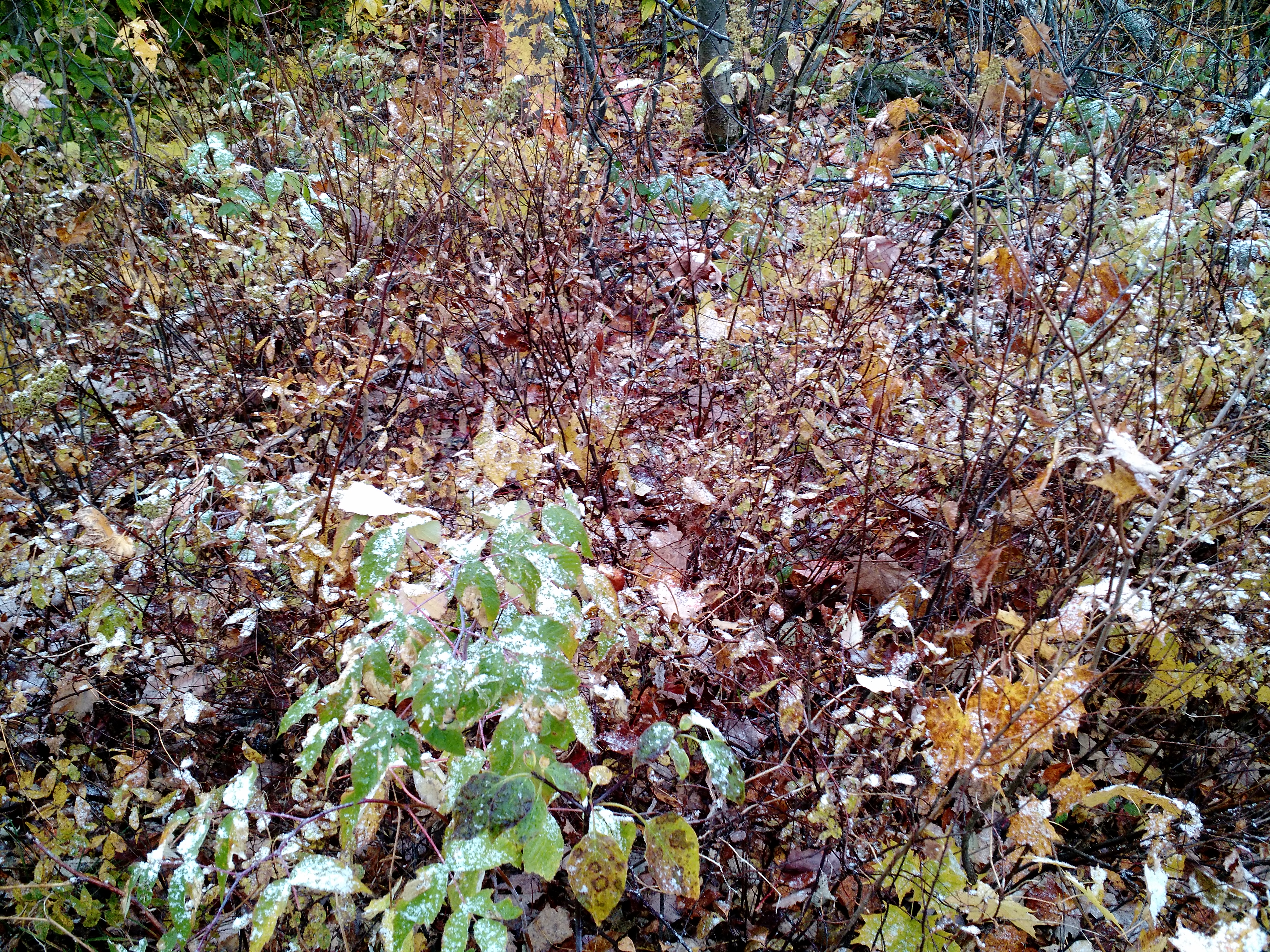
The summit allowed me my first observed snowfall of the season! It came down a few times while I was on the summit, and I saw more sleet on the descent.

IMG_20151017_103137

My only complaints about this hike is it’s popularity and the terrain does not allow for a running descent.

Spruce Mountain – October 17, 2015

If my sources are correct, Spruce Mountain was previously accessed through a private land trail requiring landowner permission. The DEC recently cut a new trail on public land allowing public access, and re-opened the tower. A such the National Geographic map is outdated. I arrived around 08:00 and hunters were parked at the entrance. I was warned there were many hunters in and around the trail, but I encountered none after leaving the trailhead.

IMG_20151018_110105

IMG_20151017_085927

The trail is obviously new and easily lost at times. It’s a moderate to difficult grade at times, but over good terrain. I was the sole hiker at the summit, which allowed for a great moment of solitude atop the tower. It was windy and chilly; with ice on the wooden tower stairs. There is a great view of Saratoga Lake, but I was unable to get a good photograph.

IMG_20151017_084434

IMG_20151017_083315

PANO_20151017_083948

PANO_20151017_082541


Good Luck Lake – October 10, 2015

IMG_20151011_091002

There is a short hike in to Good Luck Lake with is easy and ends with a beautiful lake view. It’s #112 on the National Geographic Map #744. The trail head is not well marked for this short hike; it’s the one just across from the parking area and has these signs at the entrace:

IMG_20151010_125817

Two camp sites are in there by the lake, both with fire pits.

PANO_20151010_122156

After that we headed down to the Canada Lake Store for lunch, and ate on the docks. A fun day!


Panther Mountain – October 10, 2015

Alex was up for the weekend and Jenn had contacted us wanting to get outside, so we all decided to meet in the Piseco Lake area to do a few hikes.

IMG_20151010_073547

We rose early and drove through Lake Pleasant stopping at Sunrise Diner for breakfast. Two coffees, two eggs and toast, two eggs, homefries, and toast, and yoghurt and granola = less than $13. Yum!

IMG_20151010_082441

With no service we chose a place to meet Jenn and drove down the road attempting to find the Panther Mountain trail entrance. It’s just West of the entrace to Little Sand Point campground, #99 on National Geographic Map #744.

IMG_20151011_090951

The hike is a steep 0.6 miles with a spectacular view at the summit. We of course enjoyed a summit beer. Be mindful on the descent, one in our party slipped and we passed another who limped halfway down after a slip.

IMG_20151010_101246

PANO_20151010_101424

PANO_20151010_101802

IMG_20151010_102919

At the end we walked through the camp site and down to the water.

PANO_20151010_113233

Next, we headed off to Good Luck Lake.

First Entry

Moving back to upstate NY brings many opportunities, one of which I’m hoping to make a lot of…and that’s the Adirondacks. Searching online I found mostly confusing, sporadic information across numerous sites. So I bought maps; the national geographic ones. And I’ve thought, “Should I do the 46?” The 46 high peaks, that is. Well, one would need a log, too? So a five minute dedication had this WordPress installation running. We’ll see where it goes; perhaps nowhere. If nothing else it’ll be an additional unorganized, sporadic chit of uselessness that may one day disappear. Hooray!